
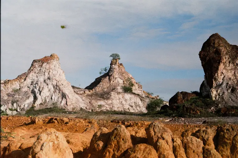
01 · Completed
1.0 kmDistance
93 mGain
171 mPeak
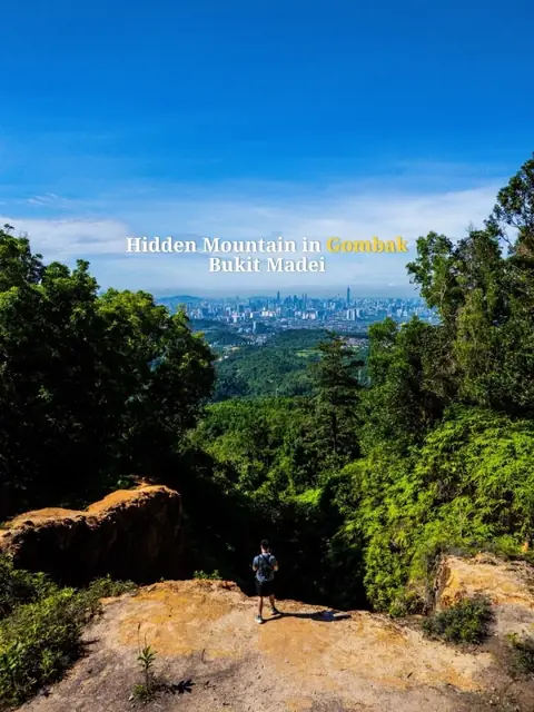
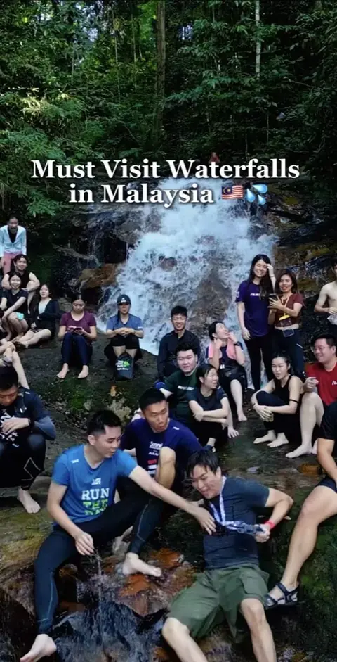
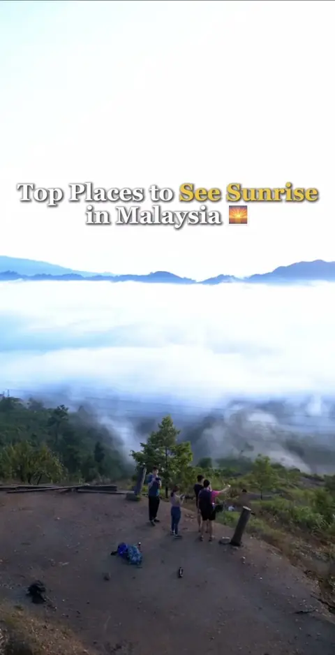
Exploring 60 mountains and hidden gems in Malaysia through hiking stories, GPX trails, drone visuals and real outdoor moments.
0/60
Every peak ships with a free GPX file and the trail story behind it.
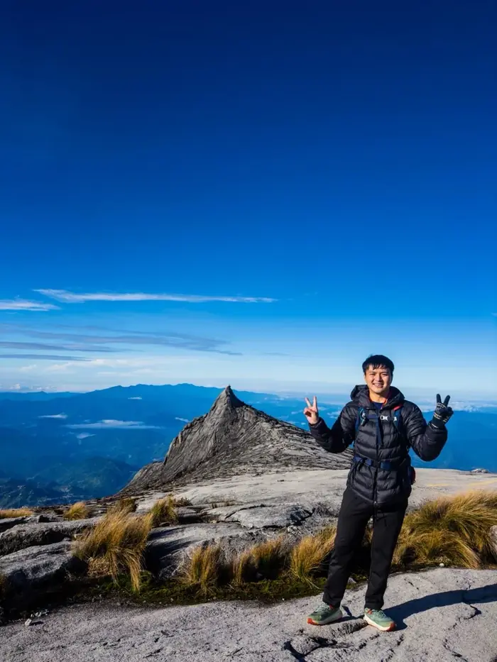
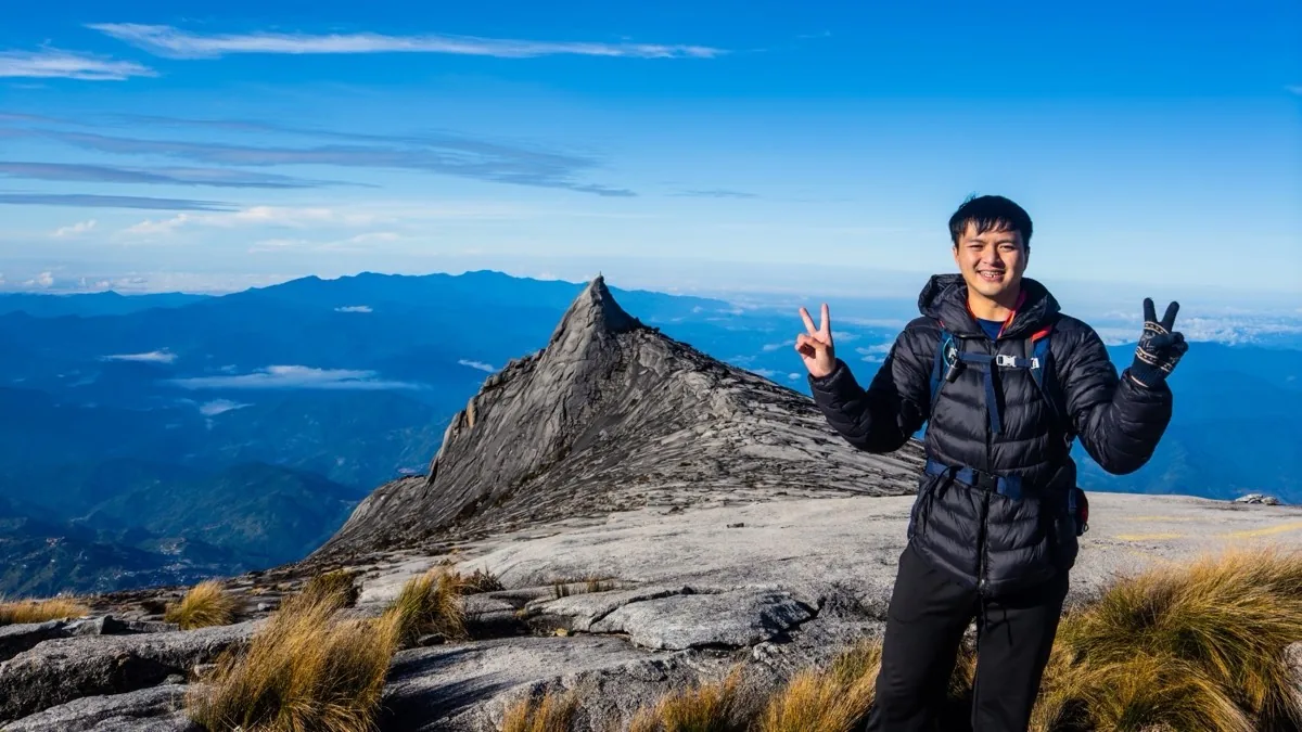
Hi, I'm Kay Du, a Hiking Drone Creator based in Malaysia 🇲🇾
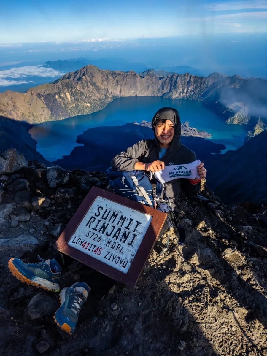
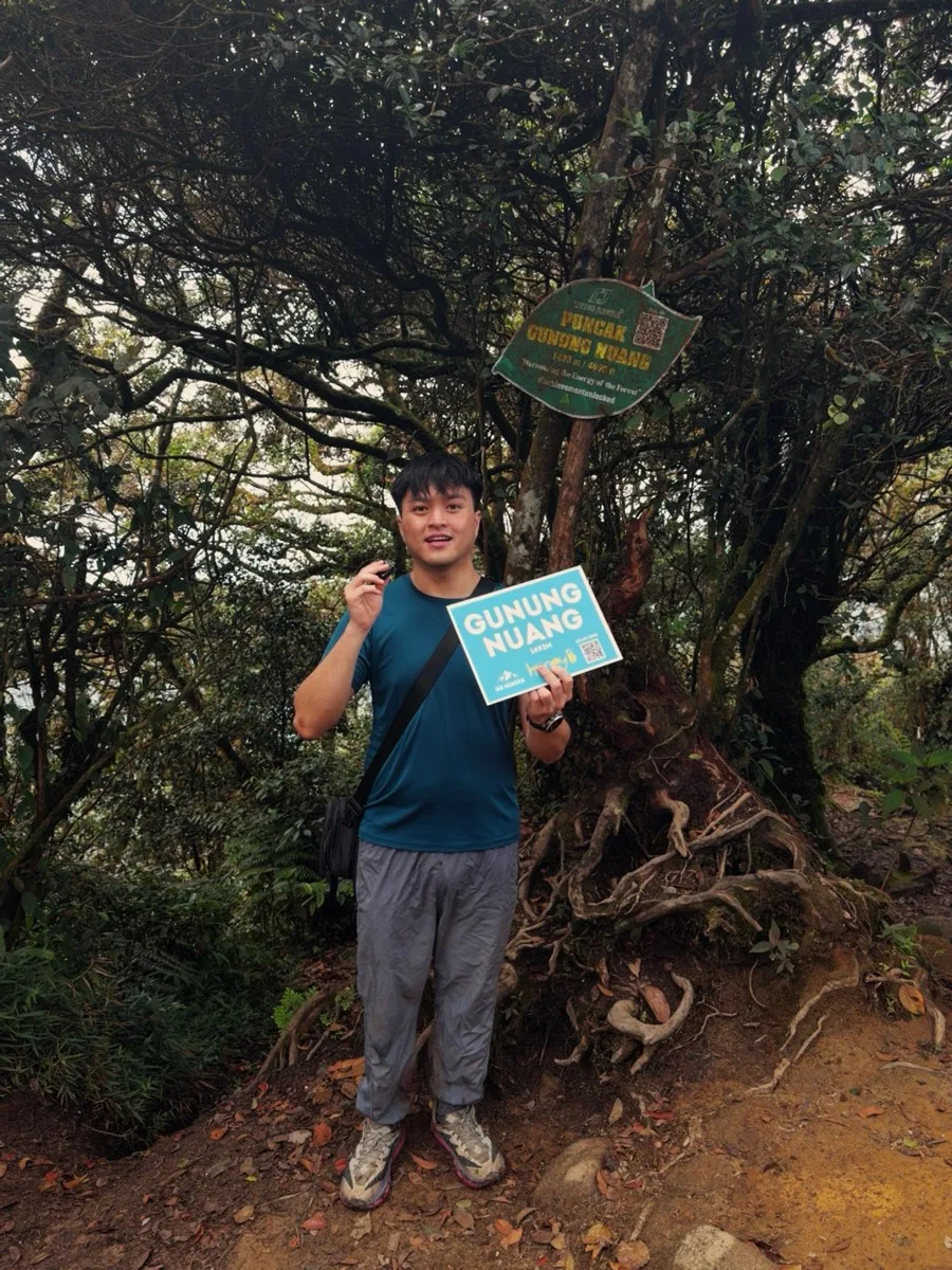
I'm currently running a personal project, "60 Mountains in Malaysia", where I hike and document 60 different mountains while sharing free GPX navigation files to help fellow hikers plan their routes with confidence.
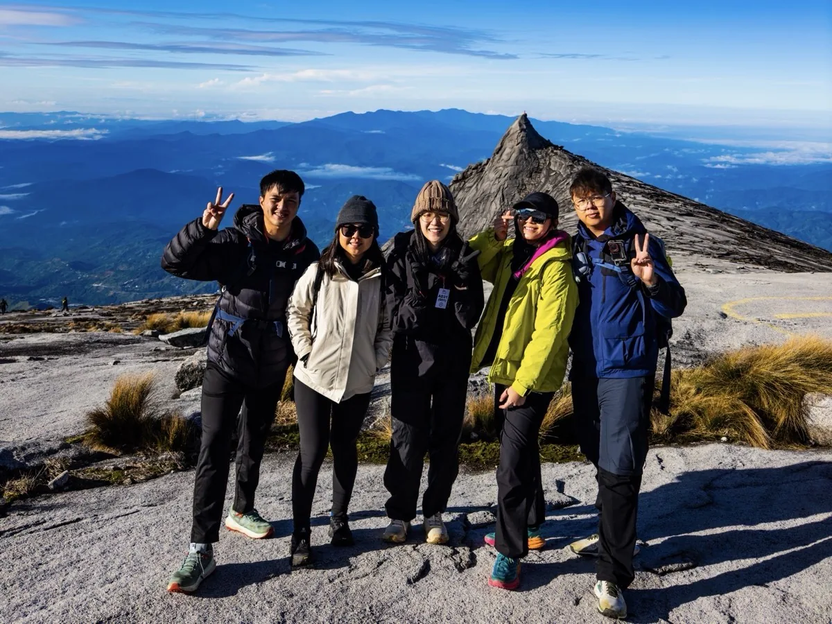
I am the Co-Founder of So Hikers Malaysia, working alongside Khor Phor Xiang, the Founder of So Hikers Malaysia. Together, we build and grow the community through hike planning, content creation, workshops, and outdoor collaborations.
Beyond hiking, I have hands-on experience in content creation, drone piloting, video editing, and social media marketing. I enjoy turning real experiences into meaningful visuals — trail documentation, event highlights, or brand storytelling.
Every route I hike becomes a free GPX file with a meeting point and honest notes. No account, no email.
Real trail files, meeting points and route notes for every hike around Malaysia.
26 files · freeShort hiking and drone films from waterfalls, forests and quiet viewpoints.
1M+ YouTube · total viewsSixty Malaysian mountains, documented one hike at a time.
26 / 60 completeStory-driven campaigns for outdoor, travel and tourism partners across Malaysia.
50K–360K reachAuthentic adventures, real locations, cinematic drone footage. Every video is filmed on a real hike — and Malaysian hikers watch them in the tens of thousands.
Vertical edits built for the algorithm, not for the brief.
Filmed on the trail, on the day, with the gear in use.
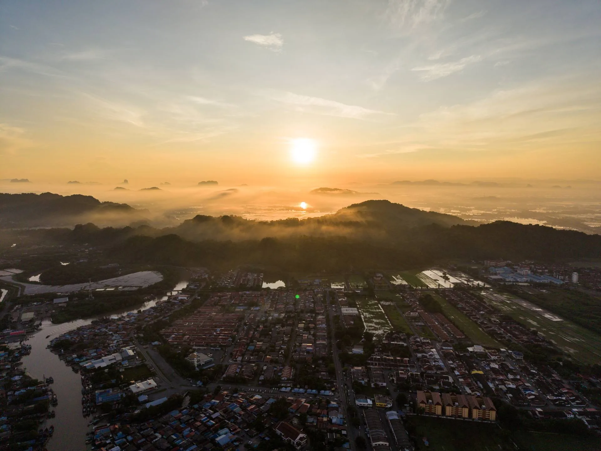
DJI Mini 5 Pro aerials — ridgelines, sunrise and scale.
Free route files hikers download, save and come back for.
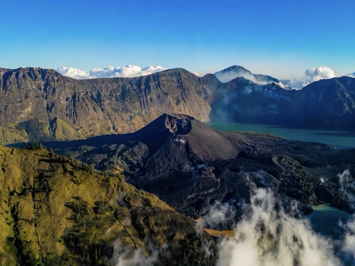
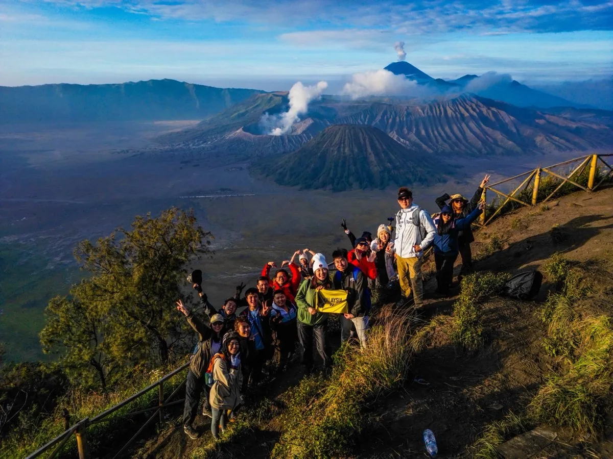
Adventures across Southeast Asia — from volcanic peaks to hidden waterfalls.
Free GPX files recorded by Kay Du. Load into any hiking app like Wikiloc, AllTrails, or Garmin.
By Kay Du · Trail list updated
27/ 60
Recorded & published
Showing all 27 trails
No trails match your search — try a different name.
Broga Hill, Bukit Kutu, Gunung Nuang and many other Selangor hikes sit inside forest reserves. Here's how I get my permit.
The official Forestry Department list of hiking areas, and which ones also need a licensed mountain guide (MGP).
53 areas · official listCreate an account on the Selangor Forestry Department's permit site and pick your hiking area and date.
01 apply onlinePay when you apply and download the permit as a PDF. Kutu and Nuang also need a guide: 1 guide for every 7 hikers.
02 RM5 · per hikerHand the printed permit to the police station nearest the hill before you start walking.
03 print · hand inBrand collaborations, hiking workshops, event coverage and outdoor content creation across Malaysia. Tell me the trail and the deadline — I'll tell you what's possible.
Usually replies within a day · Based in KL, travels nationwide
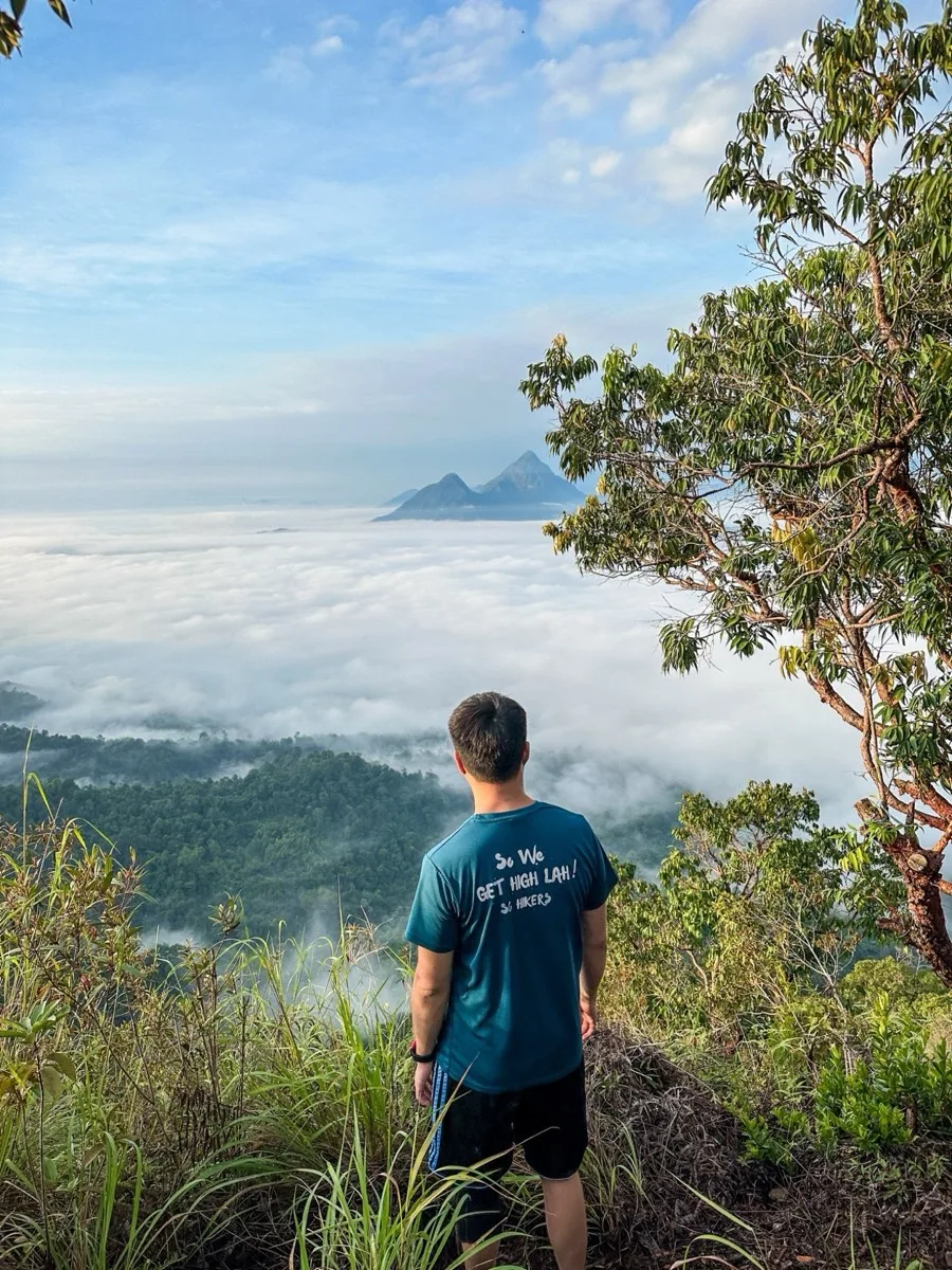
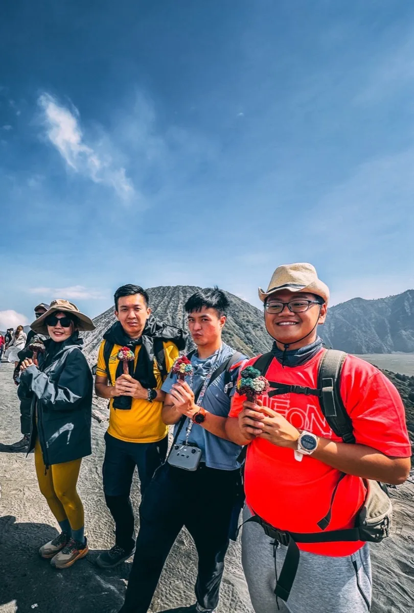
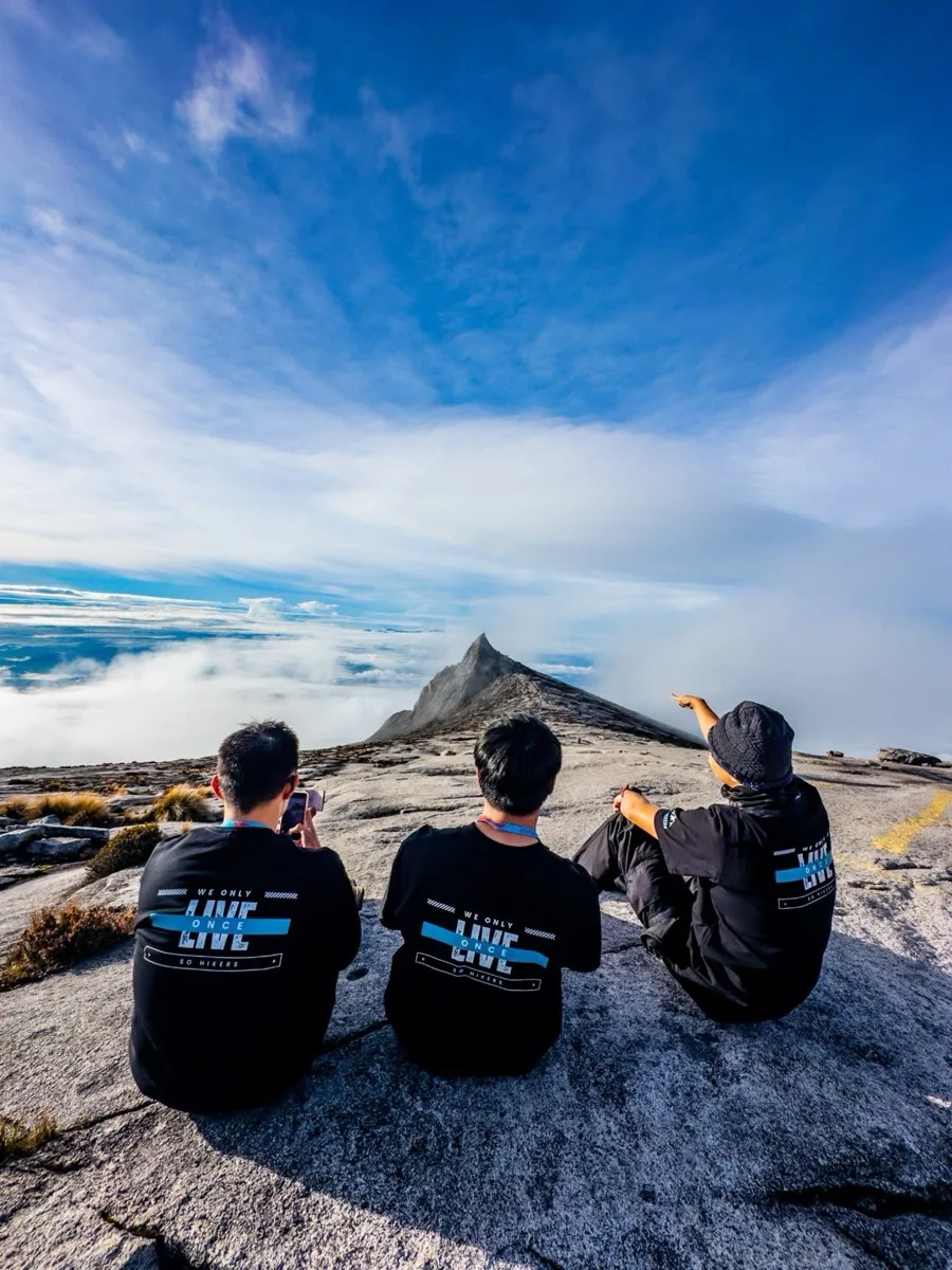
A new GPX file every few weeks, with the meeting point and what the route is actually like. No spam — just mountains.